37,943,134
Parcels already in our database
outlines from across Poland
100% free. No fees, payment card, subscription or report limit. InfoGrunt does not charge users.
Live InfoGrunt database
outlines from across Poland
unique entries in our database
transactions that pass our quality rules
network analysed around parcels
unique OpenStreetMap objects
unique entries preserved in our history
Report scope
The complete outline and parcel ID — without them we do not pretend to run a spatial check.
Publications tied to the full geometry. No local plan is not a planning decision.
Sources for the whole boundary; unavailability remains visible.
Map context without deciding legal access or easements.
We show data availability; connection terms remain with the relevant operator.
Market observations where data quality permits — never a parcel valuation.
Use cases
Organise questions about planning, access, utilities and constraints before visiting an office.
Start with public data and their coverage before commissioning further analysis.
See which public information is currently available for its boundary.
Prepare a shared list of sources and points requiring document confirmation.
Collect public parcel data before reviewing the valuation, listing and procedure documents.
Check the same source set for each parcel before choosing which ones to inspect on site.
Connect planning, land rights, access, utilities, restrictions and a complete site layout before treating a parcel as suitable for your house.
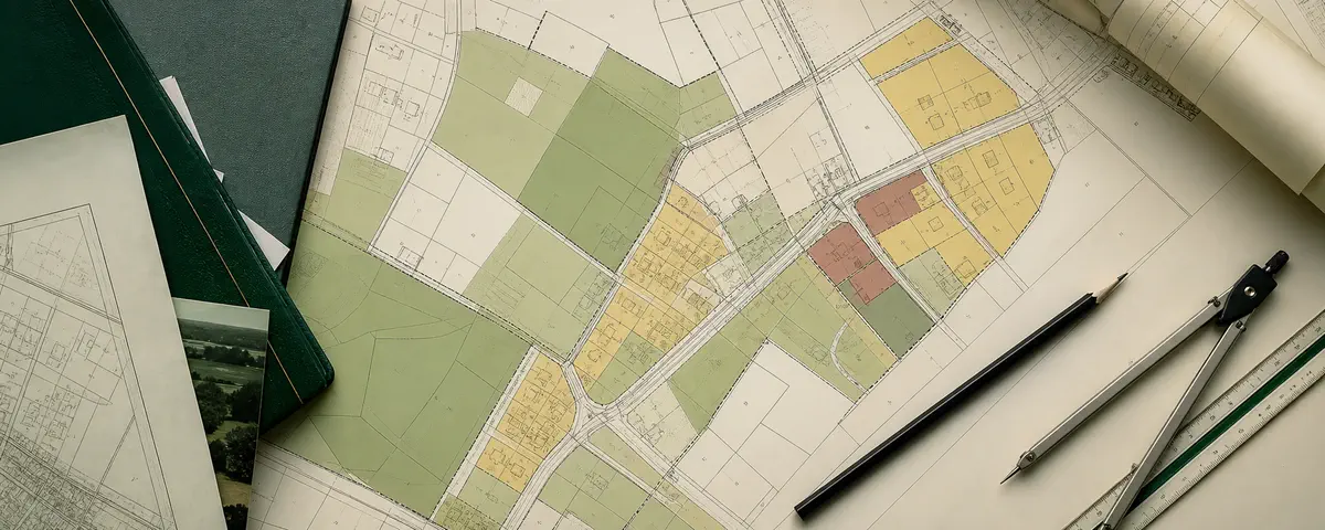
Match the full parcel boundary to the binding plan, read its legend and provisions, and keep unresolved coverage or designation questions visible.
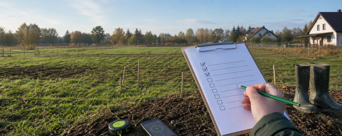
Record 25 field observations and three follow-up actions, with a note card separating observations, documentary evidence and professional assessment.
Start with a report based on available sources — always free, with no fees or subscription.