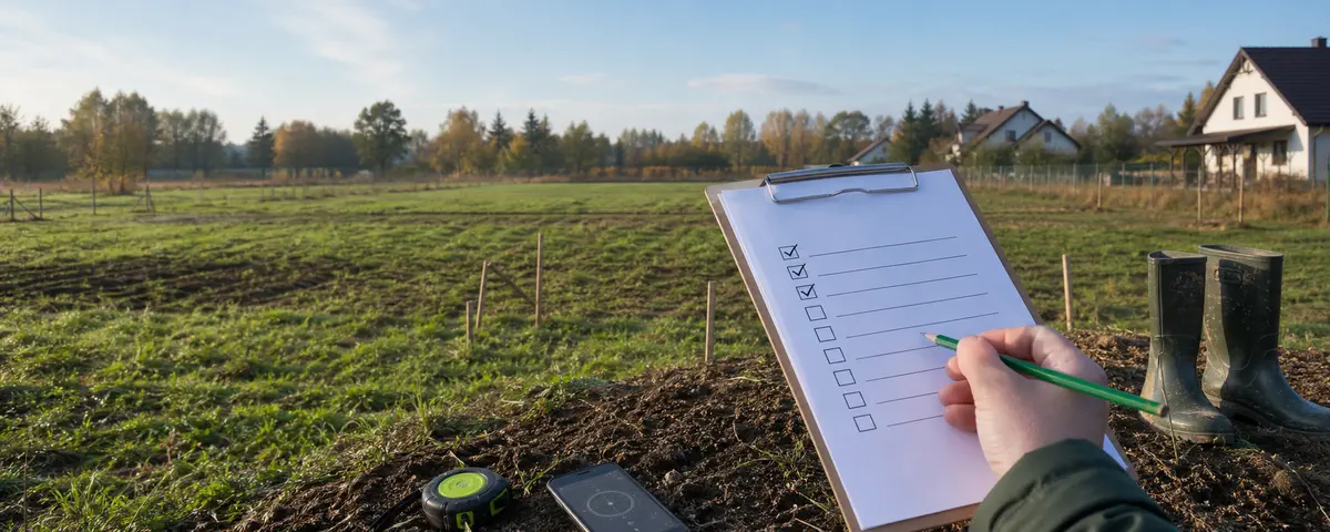
Parcel site visit: 28 points and a reusable note card
📅 2026-05-13⏱️ 7 min read✍️ KrolTech Łukasz Król · InfoGrunt.pl · updated: 2026-09-05
A site visit should produce a clear record of what you actually see, hear and smell at a particular time. It cannot independently establish legal boundaries, access rights, ground conditions, flood risk or utility connection capacity. These 28 points connect observations with the evidence needed afterwards.
In this guide
Where practical, visit on an ordinary working day and again at another time or after rain. Start from a public road. Enter private land only with permission; do not cross fences, open chambers, excavate or move survey markers.
Bring: the parcel identifier and precinct, a saved location, the seller’s contact details, a charged phone, power bank, notebook, pen and suitable footwear. Phone or tape measurements are not a survey.
Tick a point after recording your observation or follow-up. A tick does not confirm that the parcel is suitable. Marks are cleared when you reload; print to keep a copy.
What you saw, what needs evidence and what needs an expert
Scroll horizontally to read every column.
Level
Record
Example
Observation
A fact seen at a stated place and time
Water beside the northern ditch at 16:20, the day after rain
Evidence to obtain
An official document, operator’s answer or specialist measurement
Flood layer, levels survey or connection conditions
Diagnosis
An interpretation requiring professional knowledge and responsibility
Groundwater assessment or legal boundary determination
A photograph of a puddle documents that puddle during the visit. It does not establish permanent waterlogging. A dry visit does not exclude it.
Access: four observations
Identity, boundaries and use: five observations
Terrain and water: five observations
Surroundings and nuisance: four observations
Infrastructure: four observations
Photographic record: three observations
A ready-to-use site-visit note card
Parcel / precinct: ___ Date, time and visit number: ___ Weather / earlier rainfall: known / unknown: ___ Observation location and direction: ___ What I directly observed: ___ Photo or file: ___ Someone else’s account, if any: ___ Evidence still needed: ___ Responsible source: authority / operator / surveyor / other specialist: ___ Status: documented / requires clarification / unavailable.
Scroll horizontally to read every column.
Point
Observation
Photo
Source to check
Result
___
___
___
___
Confirmed / conflicting / unavailable
___
___
___
___
Confirmed / conflicting / unavailable
What to do after the visit
Official sources and their limits
GUGiK: EGiB — cadastral information and identified indicative supplements; no replacement for professional boundary work.
GUGiK: orthophotos — terrain at the image date, not proof of current conditions or legality.
GUGiK: GESUT — supplied existing/proposed network data, not a connection promise.
⚖️ Notice: This is informational material based on public sources. It is not a valuation or legal, surveying, notarial or investment advice. Before deciding, verify material facts with the competent office, land register and an appropriate professional.