
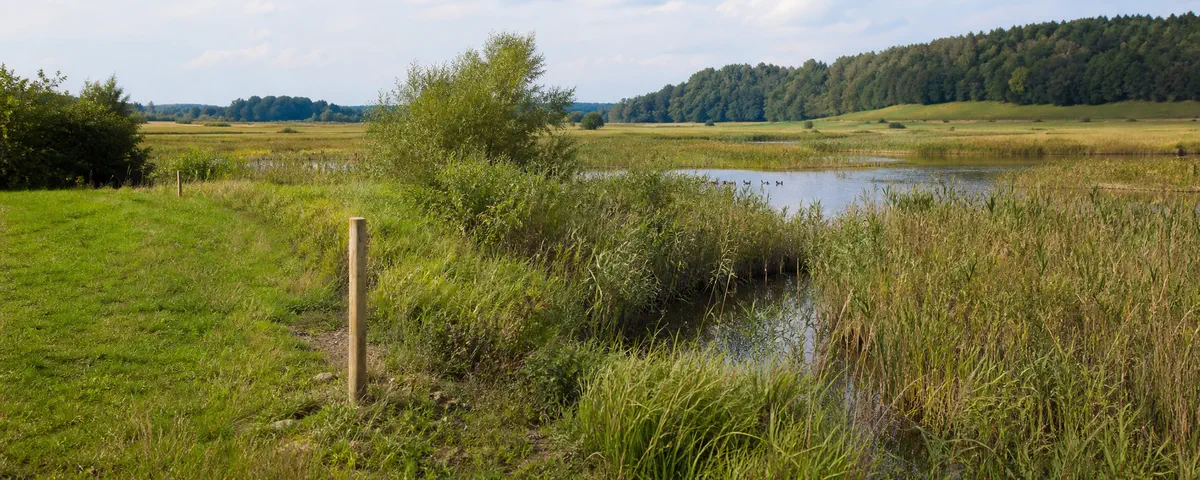
Before buying, identify the boundary and site code, the protected habitats and species, the applicable conservation documents and the complete project. A map colour, planning designation or seller’s assurance cannot replace that assessment.
What each source can confirm
Scroll horizontally to read every column.
| Source | What it provides | Its limit |
|---|---|---|
| GDOŚ Geoserwis | Published Natura 2000 polygons, names and codes, and proposed changes where supplied | No individual permission; no substitute for the establishing act |
| Natura 2000 database and SDF | Site identity and habitat/species records with assessments | No proof that a species or habitat occurs on this exact parcel |
| PZO or conservation plan | Threats, objectives, actions and, where specified, implementation areas | No individual decision for your development |
| Project-specific procedure | Whether further assessment is required and what follows from the examined project | Cannot be replaced by a general question about building “in Natura 2000” |
Confirm the boundary and full code
- Prepare the full parcel identifier and boundary. Also mark works outside it: access, connections, drainage and temporary construction areas.
- In GDOŚ Geoserwis, inspect both bird and habitat layers. Record each polygon’s full name and code, commonly beginning PLB, PLH or PLC. More than one site can overlap.
- Check the whole boundary, not only the address point. Save a dated view with legend and scale. If the line crosses or closely follows the parcel, mark the relationship as unresolved.
- Confirm the name and code in CRFOP or the official Natura 2000 database. Find the act and later amendments. Ask the supervising authority to resolve a conflict between the map and documents.
If a registry service is temporarily unavailable, use the GDOŚ official registers directory and ask the responsible RDOŚ for the current documents. An unavailable website is not evidence that the area or restriction does not exist.
Read the Standard Data Form
Search the official Natura 2000 database by full code. Download the current Standard Data Form (SDF) and record its update date. The code prevents confusion between similarly named sites.
Read the habitat and species tables, retaining codes, names and assessment fields. Identify the conservation subjects using the SDF and current conservation documents together; do not treat every listed entry, especially one assessed as non-significant, as identical. If the assessment fields are unclear, ask the responsible RDOŚ to explain the current list.
The SDF describes the whole site. It does not establish the location of a habitat patch on your parcel, a complete local inventory or the absence of an impact. More detailed evidence or ecological documentation may be required for the actual proposal.
Find the applicable conservation document
Search the responsible Regional Directorate for Environmental Protection (RDOŚ) for the site code and plan zadań ochronnych (PZO). Obtain the establishing order and amendments. Read the tables of protected subjects, threats, objectives, measures and implementation areas. Keep each objective attached to its habitat or species code and the exact document section.
If no PZO appears, do not conclude there are no objectives or restrictions. Another applicable conservation instrument may cover the site or relevant part, including a conservation plan or provisions within other legally recognised planning documents. Ask the supervising authority identified in the register which instrument applies.
Keep the result in one site record
Scroll horizontally to read every column.
| Field | Record |
|---|---|
| Parcel and position | Full identifier, precinct, municipality and relationship to the boundary |
| Natura 2000 site | Name, code and layer type; a separate row for every overlap |
| Boundary evidence | Map source/date, establishing act, amendments and discrepancies |
| SDF | Version date and relevant habitat/species codes with their assessment fields |
| Conservation document | Title, amendments and responsible authority |
| Objectives to investigate | The meaning of the relevant objective, its protected subject and document location |
| Missing evidence | Unclear boundary, absent current document or unknown local habitat/species distribution |
Inside, on the boundary or nearby
Scroll horizontally to read every column.
| Situation | Next step |
|---|---|
| Inside the site | Complete the record for every overlapping site and describe the project. Location alone establishes neither permission nor a ban. |
| On the boundary | Do not decide “inside/outside” from a blurred screenshot. Compare the official data and act, and resolve the discrepancy with the authority. |
| Nearby | Investigate possible pathways of impact, including water, light, noise, traffic, pollution or ecological connectivity. Distance from the line is not the whole assessment. |
Describe the proposal before speaking to the authority
The authority needs more than the word “house”. Record permanent and temporary land take, access and utility routes, building dimensions, hard surfaces, excavations, embankments, tree removal and changes of use. Describe water supply, wastewater and rainwater management, drainage, lighting, noise, traffic and emissions during construction and use.
Include the proposed works period, layout alternatives, measures limiting disturbance and relevant existing or planned neighbouring activities that could contribute to combined effects. A small building can still have off-site works; leaving them out does not make them irrelevant.
Take this material to the authority handling the appropriate investment procedure. The environmental assessment legislation provides a route for considering potential significant Natura 2000 effects even for proposals outside the usual category of projects requiring an environmental decision. An informal enquiry can help locate evidence, but is not the statutory determination.
Reasons to pause before purchase
- The advert’s code differs from the mapped site, or a second overlapping area was missed.
- “Outside” rests on a screenshot where the boundary crosses the parcel.
- The SDF is outdated or amendments to the conservation document were ignored.
- The project description excludes access, connections, drainage or temporary works.
- Someone claims certain permission from an MPZP, or a certain ban solely from Natura 2000 status.
- The relevant protected subjects and potential effects are not supported by adequate evidence.
Official sources and connected checks
- GDOŚ: geospatial data and limits of mapped boundaries.
- GDOŚ: official registers.
- GDOŚ: conservation action plans.
- GDOŚ: human activity in Natura 2000.
- Nature Conservation Act, particularly Articles 28–33.
- Environmental assessment legislation, particularly Articles 96–98.
Check the parcel’s initial map context, then connect the findings with planning documents and the whole-project checklist. This record organises evidence; it is not an environmental impact assessment.