
What this check answers
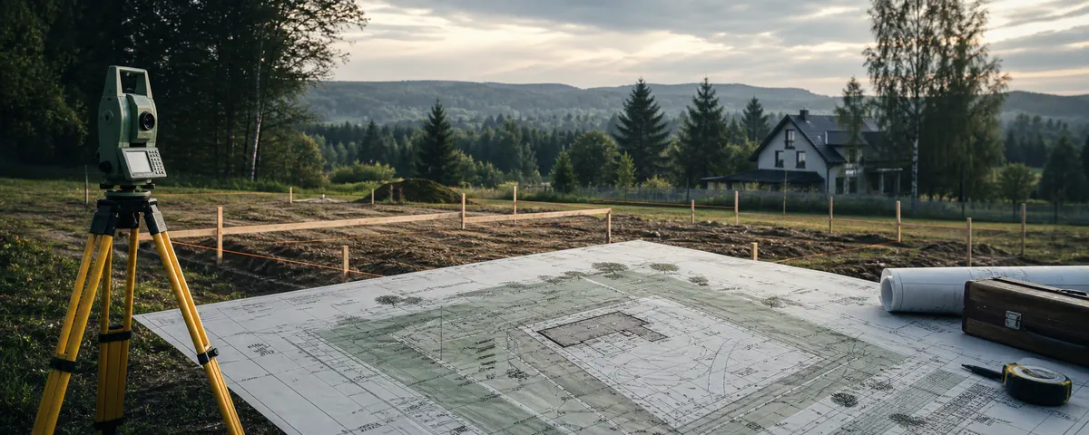
A map for design purposes is prepared for a particular project by an authorised surveyor using official geodetic materials and field work where required.
What to verify
- Ask the designer what area and content the project requires.
- Verify the surveyor’s scope, expected deliverable and the reference data used.
- Do not use an online map screenshot as project documentation.
How InfoGrunt presents the result
InfoGrunt uses public data as a screening aid. Every material result should retain its source and date and be marked as available, partial, unavailable or affected by a source error. Missing data is never converted into a positive answer.
Official starting points
Sources reviewed on 24 July 2026. Always confirm that the document or guidance is still current for your case.