
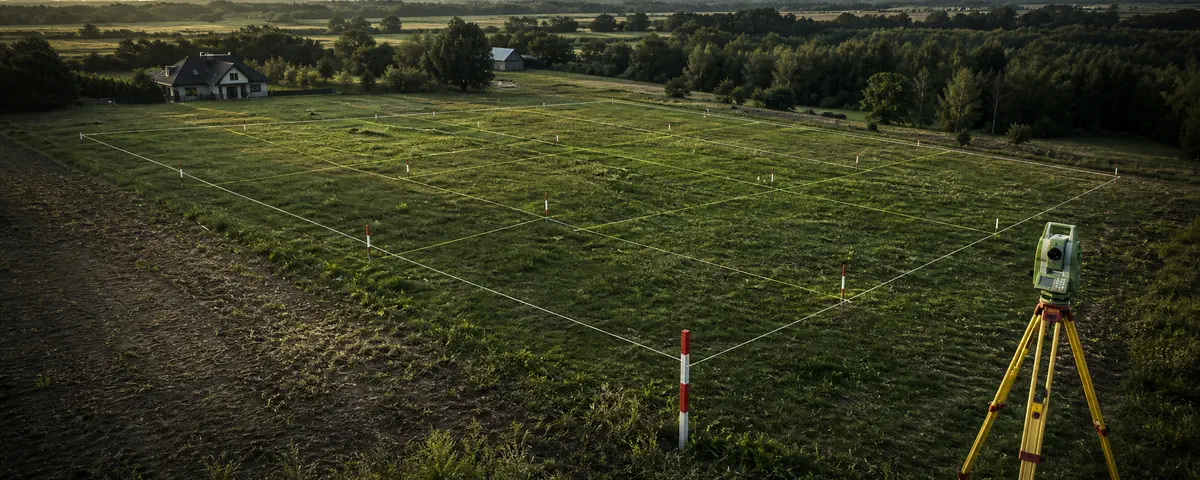
What this check answers
A geometrically possible line is not necessarily an approvable or useful cadastral subdivision.
What to verify
- Ask the municipality which planning or statutory basis applies.
- Make sure every intended parcel has legally adequate access and usable geometry.
- Use an authorised surveyor and confirm how the decision and cadastral update will be completed.
How InfoGrunt presents the result
InfoGrunt uses public data as a screening aid. Every material result should retain its source and date and be marked as available, partial, unavailable or affected by a source error. Missing data is never converted into a positive answer.
Official starting points
Sources reviewed on 24 July 2026. Always confirm that the document or guidance is still current for your case.