
What this check answers
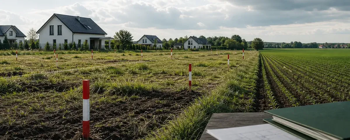
A parcel can contain several soil-class contours. Each contour has its own class and area, which the register lists separately.
What to verify
- Obtain a current EGiB extract and map for the exact parcel.
- Record each land-use and soil-class designation with its area.
- Overlay the planned building footprint and ask the county office which parts require an exclusion decision.
How InfoGrunt presents the result
InfoGrunt uses public data as a screening aid. Every material result should retain its source and date and be marked as available, partial, unavailable or affected by a source error. Missing data is never converted into a positive answer.
Official starting points
Sources reviewed on 24 July 2026. Always confirm that the document or guidance is still current for your case.